Below are questions and answers for Cotswold Way information:
Whereabouts is it?
The Cotswold Way is a historic hiking route in the centre of The Cotswolds. The Cotswolds is the largest area of designated natural beauty (AONB) in England and Wales. The area includes the regions of South Warwickshire and Worcestershire, West Oxfordshire and Gloucestershire, Wiltshire & North East Somerset.
How long is it?
102 miles from Chipping Campden in the north to the beautiful spa city of Bath in the south.
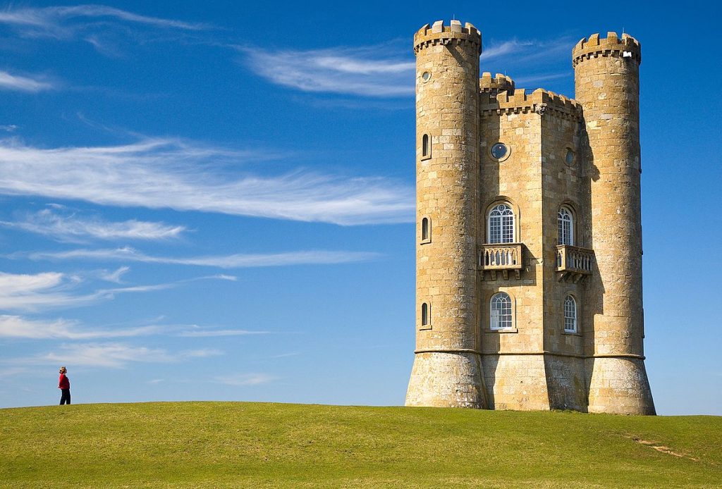
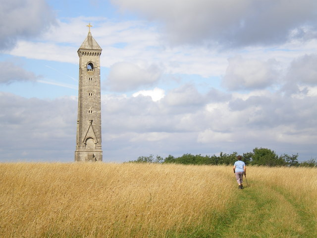
What’s special about it?
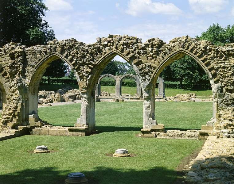
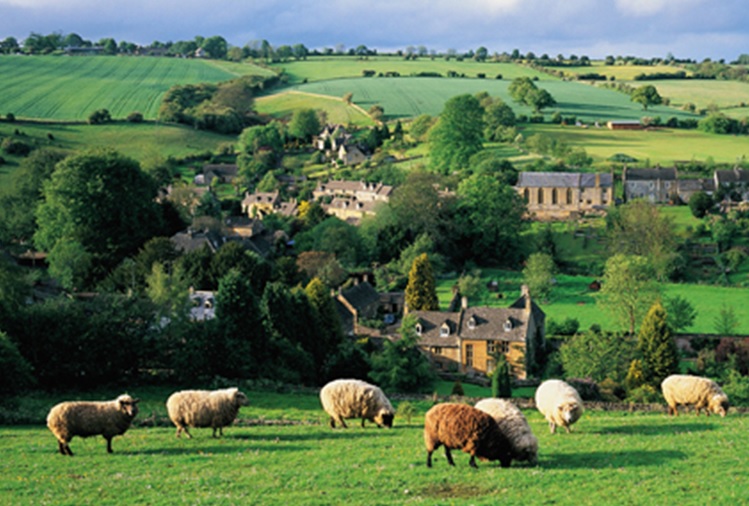
The Cotswold Way includes some of England’s prettiest towns & villages. Broadway, Painswick, Chipping Campden, Stanway. It concludes (or starts) at the City of Bath World Heritage Site. There is so much history including ancient burial sites, castles, churches and abbeys. Historic houses, parks, and nature reserves. The hike takes you through glorious countryside of wildflower meadows, ancient woodlands, protected grassland, and rolling hills.

Best time to Come?
Spring, Autumn and Summer months. Each of these seasons has its own recommendations. If you don’t mind the weather, Winter is pretty special too.
How difficult is it?
Compared to many hiking routes the difficulty level of The Cotswold Way is easy/moderate. The landscape is rolling hills with fantastic views each day. The high point is approx. 300 metres above sea level. Nothing too strenuous but there are many ascents and descents on the route. If you want to walk it over 6 or 7 days, that can be a challenge. 8 or more hiking days give you the chance to spend more time exploring your surroundings.
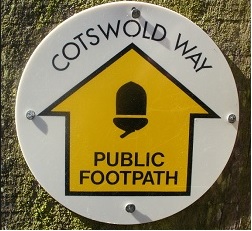
How do I follow the route?
The route is well marked with regular unique Cotswold way markers. We provide all our customers with the official guide book https://thetrailsshop.co.uk/collections/official-guidebooks/products/cotswold-way
Any further questions?
For further Cotswold Way information contact us at [email protected]
We are happy to answer any questions you have about The Cotswold Way.