Cotswold Walking routes out and about
Cleeve Hill & Birdlip
Continuing our blog series on
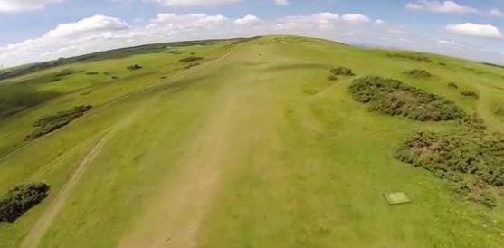
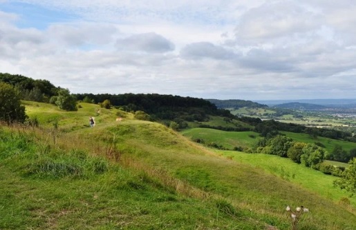
Cleeve Hill is the highest point in The Cotswolds at 320 metres above sea level. The area is surrounded by a Common, with golf course, a few B&Bs, a hotel and Inn. Cleeve Common has an area of over 400 hectares.
The area is grassland over limestone that has little human intervention. There are a network of walking paths and tracks over the common. It is great for nature lovers as it has a wide variety of plants, birds and mammals that thrive in this environment. The views across the surrounding countryside and into Wales are exceptional.
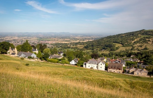
It is the flocks of sheep that are free to graze on the common which help maintain the rich and diverse environment. Not far from the common, on The Cotswold Way route, is Belas Knap, a Neolithic long barrow.
https://www.cleevehillgolfclub.co.uk/
https://www.greeneking-pubs.co.uk/pubs/gloucestershire/rising-sun-hotel/
Further information
http://www.cleevecommon.org.uk/
https://www.visitcheltenham.com/things-to-do/cleeve-hill-p395953
https://www.english-heritage.org.uk/visit/places/belas-knap-long-barrow/
Birdlip is on The Cotswold Way National Trail. It is one of our most popular Cotswold Walking routes. Birdlip is a small village at an altitude of almost 300 metres. This makes it one of The Cotswold’s highest places.
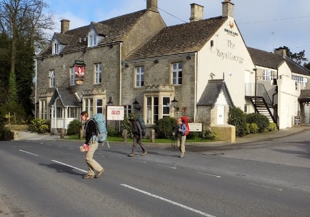
The village was on ‘The Ermin Way’ an ancient roman road between Roman cities of Gloucester and Cirencester. In recent times a bypass moved the main route away from the village. Today it is a delightful village with some fine properties built of honey coloured Cotswold stone.
Places to Eat:
https://www.greenekinginns.co.uk/hotels/royal-george-hotel/
Further information
http://www.picturesofengland.com/England/Gloucestershire/Birdlip
https://en.wikipedia.org/wiki/Birdlip
Would you like more information about Cotswold Walking routes or our Cotswold Walking Holidays?
You can contact us here: https://www.cotswoldwalkingco.com/contact-us/
We look forward to hearing from you.